
Expansion Tectonics
Those interested in expansion tectonics
Organizer:
- Organized by
-
-
Interactive digital 3D expanding Globe link
-
Interactive digital 3D expanding Globe link
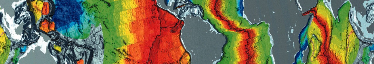
Not sure if this has been seen before by many, but I stumbled onto this page which has an interactive globe that you can expand with the scroll mouses function, as well as click and hold to rotate the globe to see how that expansion occurs from any perspective. From my perspective its a critical tool to have access to for new people to play around with to comprehend the concept. Although, having passed along this link to various other supporters of Expanding Earth, many are in agreement that the paths of the continental plates deviate considerably from what most can agree with as you’ll see:
http://www.alternativephysics.org/book/ExpandingEarth-demo.htm
If in agreement about the significance of this program as a useful tool, I’m curious if anyone would be available to contribute to the project of correcting this program to show more agreed upon pathways of the continent separation, as evidenced in geological study?
I’ve sent an inquiry to the host to see if the author of this program would be interested in assistance with the necessary changes, and various questions about file formats required for those changes to be made as simple for him as possible.
Let me know your thoughts on any agreement about how useful this program would be and who might be open to contribution.